
Fichye:USACE Aquilla Dam and Lake.jpg
Dimansyon previzyalizasyon sa a : 800 × 533 piksèl. Lòt rezolisyon yo: 320 × 213 piksèl | 640 × 427 piksèl | 1 024 × 683 piksèl | 1 500 × 1 000 piksèl.
Fichye orijinal (1 500 × 1 000 piksèl, gwosè fichye a : 177 kio, tip MIME li ye : image/jpeg)
| Deskripsyon |
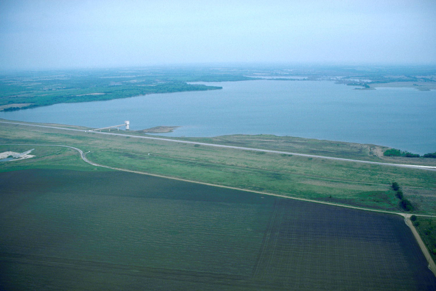
English: Aerial view of Aquilla Lake and Dam on the Aquilla and Hackberry Creeks in Hill County, Texas, USA.
Coordinates: 31°53′54.9″N 97°12′8.94″W / 31.898583°N 97.2024833°W |
|||
| Lieu | Hill County, Texas, USA | |||
| Dat | (Caveat: Dates provided by U.S. Army Corps of Engineers Digital Visual Library are not reliable and may be wrong.) | |||
| Sous |
U.S. Army Corps of Engineers Digital Visual Library Image page Image description page Digital Visual Library home page |
|||
| Kreyatè | U.S. Army Corps of Engineers, photographer not specified or unknown | |||
| Pèmisyon : (Resèvi ak fichye sa a) |
|
Istorik fichye a
Klike sou yon dat/yon lè pou wè fichye a jan li te ye nan moman sa a.
| Dat ak lè | Minyati | Grandè yo | Itilizatè | Komantè | |
|---|---|---|---|---|---|
| Kounye a | 25 me 2007 à 19:13 | | 1 500 × 1 000 (177 kio) | DanMS | {{Information | Description = {{en|Aerial view of Aquilla Lake and Dam on the Aquilla and Hackberry Creeks in Hill County, Texas, USA. }} Coordinates: {{Coor dms|31|53|54.9|N|97|12|8.94|W|type:city|display=inline}} | Source = U.S. Army Corps o |
Itilizasyon fichye sa a
paj sa a itilize fichye sa a:
Itilizasyon global fichye a
Wiki sa a yo sèvi ak fichye sa a:
- Itilizasyon sou ar.wikipedia.org
- Itilizasyon sou arz.wikipedia.org
- Itilizasyon sou azb.wikipedia.org
- Itilizasyon sou ceb.wikipedia.org
- Itilizasyon sou ce.wikipedia.org
- Itilizasyon sou cy.wikipedia.org
- Itilizasyon sou de.wikipedia.org
- Itilizasyon sou en.wikipedia.org
- Itilizasyon sou es.wikipedia.org
- Itilizasyon sou eu.wikipedia.org
- Itilizasyon sou fa.wikipedia.org
- Itilizasyon sou fr.wikipedia.org
- Itilizasyon sou hu.wikipedia.org
- Itilizasyon sou it.wikipedia.org
- Itilizasyon sou lld.wikipedia.org
- Itilizasyon sou pl.wikipedia.org
- Itilizasyon sou pt.wikipedia.org
- Itilizasyon sou simple.wikipedia.org
- Itilizasyon sou sr.wikipedia.org
- Itilizasyon sou tt.wikipedia.org
- Itilizasyon sou uk.wikipedia.org
- Itilizasyon sou uz.wikipedia.org
- Itilizasyon sou vi.wikipedia.org
- Itilizasyon sou www.wikidata.org
- Itilizasyon sou zh-min-nan.wikipedia.org