
Fichye:Map of Kentucky highlighting Oldham County.svg

Taille de cet aperçu PNG pour ce fichier SVG : 800 × 345 piksèl. Lòt rezolisyon yo: 320 × 138 piksèl | 640 × 276 piksèl | 1 024 × 441 piksèl | 1 280 × 551 piksèl | 2 560 × 1 103 piksèl | 6 770 × 2 916 piksèl.
Fichye orijinal (Fichye SVG, rezolisyon de 6 770 × 2 916 piksèl, gwosè fichye : 127 kio)
Rezime
| Deskripsyon |
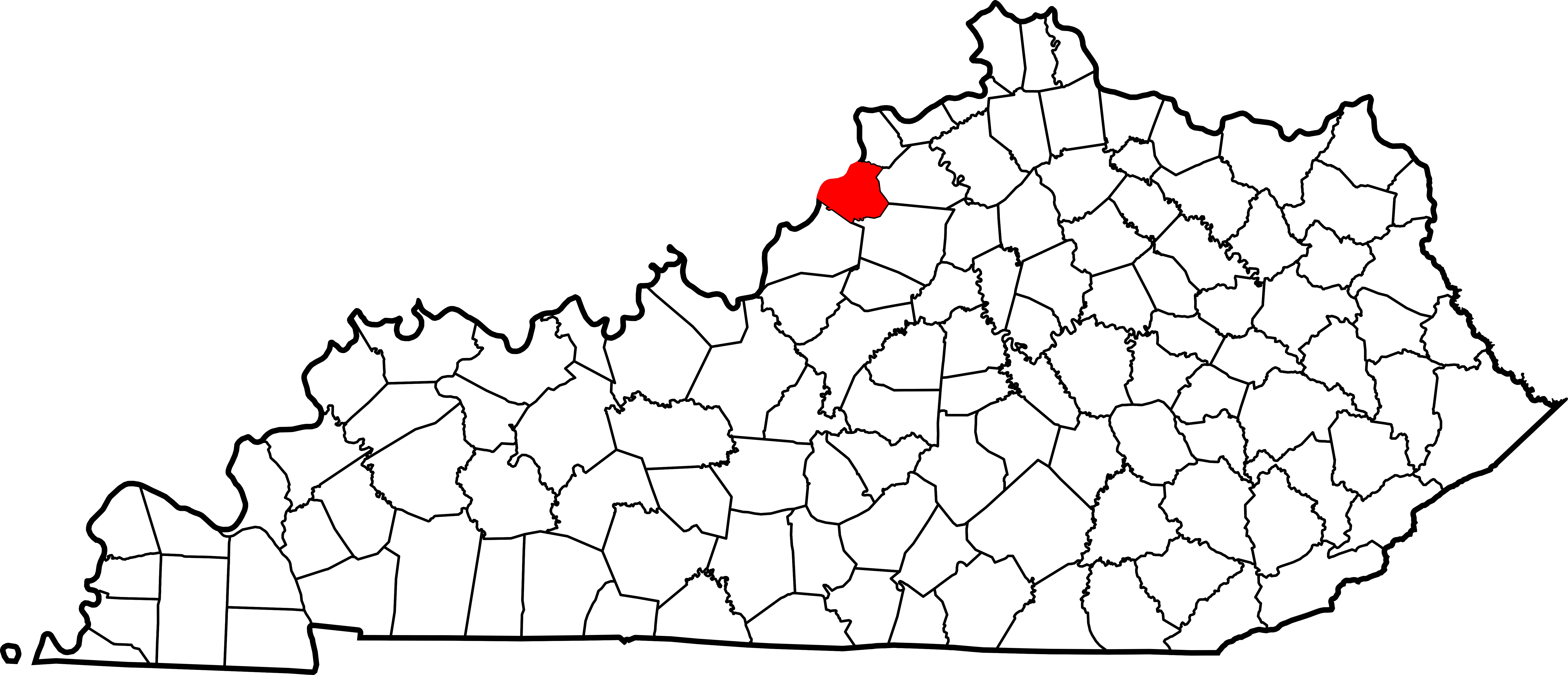
English: This is a locator map showing Oldham County in Kentucky. For more information, see Commons:United States county locator maps. |
| Dat | |
| Sous |
Travay pèsonèl: English: The maps use data from nationalatlas.gov, specifically countyp020.tar.gz on the Raw Data Download page. The maps also use state outline data from statesp020.tar.gz. The Florida maps use hydrogm020.tar.gz to display Lake Okeechobee. |
| Kreyatè | David Benbennick |
Kondisyon itlizasyon
| Moi, propriétaire des droits d’auteur sur cette œuvre, la place dans le domaine public. Ceci s'applique dans le monde entier. Dans certains pays, ceci peut ne pas être possible ; dans ce cas : J’accorde à toute personne le droit d’utiliser cette œuvre dans n’importe quel but, sans aucune condition, sauf celles requises par la loi. |
Istorik fichye a
Klike sou yon dat/yon lè pou wè fichye a jan li te ye nan moman sa a.
| Dat ak lè | Minyati | Grandè yo | Itilizatè | Komantè | |
|---|---|---|---|---|---|
| Kounye a | 12 fevriye 2006 à 12:24 | | 6 770 × 2 916 (127 kio) | David Benbennick | {{subst:User:Dbenbenn/clm|county=Oldham County|state=Kentucky}} |
Itilizasyon fichye sa a
paj sa a itilize fichye sa a:
Itilizasyon global fichye a
Wiki sa a yo sèvi ak fichye sa a:
- Itilizasyon sou ar.wikipedia.org
- Itilizasyon sou arz.wikipedia.org
- Itilizasyon sou azb.wikipedia.org
- Itilizasyon sou bg.wikipedia.org
- Itilizasyon sou bpy.wikipedia.org
- Itilizasyon sou ca.wikipedia.org
- Itilizasyon sou cdo.wikipedia.org
- Itilizasyon sou ceb.wikipedia.org
- Itilizasyon sou ce.wikipedia.org
- Itilizasyon sou cy.wikipedia.org
- Itilizasyon sou de.wikipedia.org
- Itilizasyon sou en.wikipedia.org
- Oldham County, Kentucky
- Buckner, Kentucky
- Crestwood, Kentucky
- Goshen, Kentucky
- La Grange, Kentucky
- Orchard Grass Hills, Kentucky
- Pewee Valley, Kentucky
- River Bluff, Kentucky
- Prospect, Kentucky
- Eden Shale Hills
- List of counties in Kentucky
- Ballardsville, Kentucky
- Template:Oldham County, Kentucky
- User:Nyttend/County templates/KY/2
- National Register of Historic Places listings in Oldham County, Kentucky
- Centerfield, Kentucky
- Floydsburg, Kentucky
- Brownsboro, Kentucky
- Category:Populated places in Oldham County, Kentucky
- Skylight, Kentucky
- Template:OldhamCountyKY-geo-stub
- Westport, Kentucky
- Itilizasyon sou es.wikipedia.org
Gade plis itilizasyon global fichye sa a.