
Fichye:Carte du Conseil de l'Europe.png
Dimansyon previzyalizasyon sa a : 784 × 600 piksèl. Lòt rezolisyon yo: 314 × 240 piksèl | 628 × 480 piksèl | 1 004 × 768 piksèl | 1 200 × 918 piksèl.
Fichye orijinal (1 200 × 918 piksèl, gwosè fichye a : 284 kio, tip MIME li ye : image/png)

|
Une version vectorielle de cette image existe, dans le format « SVG ». Si elle n’est pas inférieure, elle devrait être utilisée à la place de la présente version pour des affichages en plus grandes dimensions ou nécessitant une meilleure résolution.
File:Carte du Conseil de l'Europe.png → File:Map of Council of Europe member states by founding and later members.svg
Pour plus d’informations sur les images vectorielles, consultez la page de transition de Commons vers le format SVG. Voir aussi les informations à propos de la manière dont le logiciel MediaWiki gère les images au format SVG. |
 |
Rezime
| Deskripsyon | |
| Dat | |
| Sous | Own work by uploader, based on Image:Euro 2008.png |
| Kreyatè | JLogan |
Kondisyon itlizasyon
Moi, en tant que détenteur des droits d’auteur sur cette œuvre, je la publie sous les licences suivantes :
Fichye sa a distribiye selon lisans Creative Commons.
- Ou gen dwa:
- pou pataje – pou kopye, distribiye epi difize ouvraj la
- pou remiks – pou adapte ouvraj la
- Selon kondisyon sa a yo:
- Rekonèt avèk non otè – Ou dwe bay enfòmasyon apwopriye sou otè a, bay yon lyen pou lisans lan, epi endike si te gen chanjman ki fèt. Ou ka fè sa nan nenpòt fason rezonab, men okenn fason ki sijere ke otè a soutni oswa apwouve itilizasyon ou an.
- Enfòmasyon sa yo ka pataje – Si ou fè rekopye, transfòme, oswa baze sou materyèl sa, ou dwe distribye kontribisyon ou anba menm oswa yon lisans konpatib avèk orijinal la.

|
Ou bay pèmisyon pou kopye, distribye ak/oswa modifye dokiman sa a dapre kondisyon GNU Free Documentation License, Vèsyon. 1.2 oswa nenpòt vèsyon ki pibliye pita pa Free Software Foundation; san okenn Seksyon ki pa ka chanje, pa gen okenn Tèks ak premye paj kouvèti, epi pa gen okenn Tèks Denyè-Kouvèti. Gen yon kopi lisans lan nan seksyon ki rele GNU Free Documentation License. |
Chwazi lisans ou vle a.
Istorik fichye a
Klike sou yon dat/yon lè pou wè fichye a jan li te ye nan moman sa a.
| Dat ak lè | Minyati | Grandè yo | Itilizatè | Komantè | |
|---|---|---|---|---|---|
| Kounye a | 11 mas 2022 à 17:50 | | 1 200 × 918 (284 kio) | Sbb1413 | Update. |
| 1 oktòb 2020 à 13:19 |  | 1 200 × 1 000 (38 kio) | Super Dromaeosaurus | Added Isle of Man, Guernsey and Jersey | |
| 6 janvye 2015 à 04:49 |  | 1 200 × 1 000 (52 kio) | Jurryaany | Fixed German sovereignty over Borkum. | |
| 14 novanm 2013 à 03:52 |  | 1 200 × 1 000 (48 kio) | Che829 | Reverted to version as of 21:36, 19 August 2008 - Nonfactual unsupported claim as per official documents published by CoE (Founders are only the 10 original signatories of w:Treaty of London (1949) on 5 May 1949 at St. James's Palace in London http... | |
| 13 fevriye 2009 à 21:27 |  | 1 200 × 1 000 (43 kio) | Emturan | Greece and Turkey are striped to show their founder member status while they joined to Council of Europe later. | |
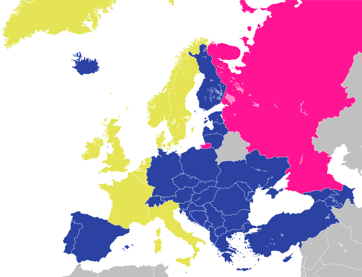
| 19 out 2008 à 21:36 |  | 1 200 × 1 000 (48 kio) | JLogan | {{Information |Description={{en|1=Map of the Council of Europe.<br />{{legend|#e4e454|Founder}}{{legend|#2b42a3|Later member}}}} {{fr|1=Carte du Conseil de l'Europe.<br />{{legend|#e4e454|Fondateurs}}{{legend|#2b42a3|Autres}}}} | |
Itilizasyon fichye sa a
Pa gen okenn paj ki itilize dosye sa a.
Itilizasyon global fichye a
Wiki sa a yo sèvi ak fichye sa a:
- Itilizasyon sou en.wikipedia.org
- Itilizasyon sou fr.wikipedia.org
- Itilizasyon sou hy.wikipedia.org
- Itilizasyon sou ja.wikipedia.org
- Itilizasyon sou ru.wikipedia.org