
Fichye:Census Bureau map of Merchantville, New Jersey.png
Pa genyen rezolisyon ki pi wo ki disponib.
Census_Bureau_map_of_Merchantville,_New_Jersey.png (575 × 425 piksèl, gwosè fichye a : 61 kio, tip MIME li ye : image/png)
Rezime
| Deskripsyon |
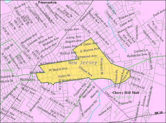
English: Census Bureau map of Merchantville |
| Sous | United States Census Bureau |
| Kreyatè | United States Census Bureau |
Kondisyon itlizasyon
This image or file is a work of a United States Census Bureau employee, taken or made as part of that person's official duties. As a work of the U.S. federal government, the image is in the public domain.
|
 |
Journal des téléversements d’origine
Transferred from en.wikipedia to Commons by Quadell using CommonsHelper.
The original description page was here. All following user names refer to en.wikipedia.
- 2008-07-10 04:24 Alansohn 575×425× (66963 bytes) {{Information |Description=Census Bureau map of [[Merchantville, New Jersey]] |Source=[[United States Census Bureau]] |Date= |Author=[[United States Census Bureau]] |Permission= |other_versions= }}
Journal des téléversements d’origine
| Dat ak lè | Grandè yo | Itilizatè | Komantè |
|---|---|---|---|
| 9 jiyè 2013, 13:51:41 | 575 × 425 (66963 bytes) | File Upload Bot (Magnus Manske) (diskisyon · kontribisyon) | Transfered from en.wikipedia by [[User:Quadell]] using CommonsHelper |
Istorik fichye a
Klike sou yon dat/yon lè pou wè fichye a jan li te ye nan moman sa a.
| Dat ak lè | Minyati | Grandè yo | Itilizatè | Komantè | |
|---|---|---|---|---|---|
| Kounye a | 20 novanm 2014 à 14:06 | | 575 × 425 (61 kio) | GifTagger | Bot: Converting file to superior PNG file. (Source: Census_Bureau_map_of_Merchantville,_New_Jersey.gif). This GIF was problematic due to non-greyscale color table. |
Itilizasyon fichye sa a
Pa gen okenn paj ki itilize dosye sa a.
Itilizasyon global fichye a
Wiki sa a yo sèvi ak fichye sa a:
- Itilizasyon sou en.wikipedia.org
- Itilizasyon sou fa.wikipedia.org
- Itilizasyon sou sh.wikipedia.org
- Itilizasyon sou zh-min-nan.wikipedia.org