
Fichye:Armour, South Dakota sign.jpg
Dimansyon previzyalizasyon sa a : 800 × 600 piksèl. Lòt rezolisyon yo: 320 × 240 piksèl | 640 × 480 piksèl | 1 024 × 768 piksèl | 1 280 × 960 piksèl | 2 560 × 1 920 piksèl | 3 264 × 2 448 piksèl.
Fichye orijinal (3 264 × 2 448 piksèl, gwosè fichye a : 3,31 Mio, tip MIME li ye : image/jpeg)
Rezime
| Deskripsyon |
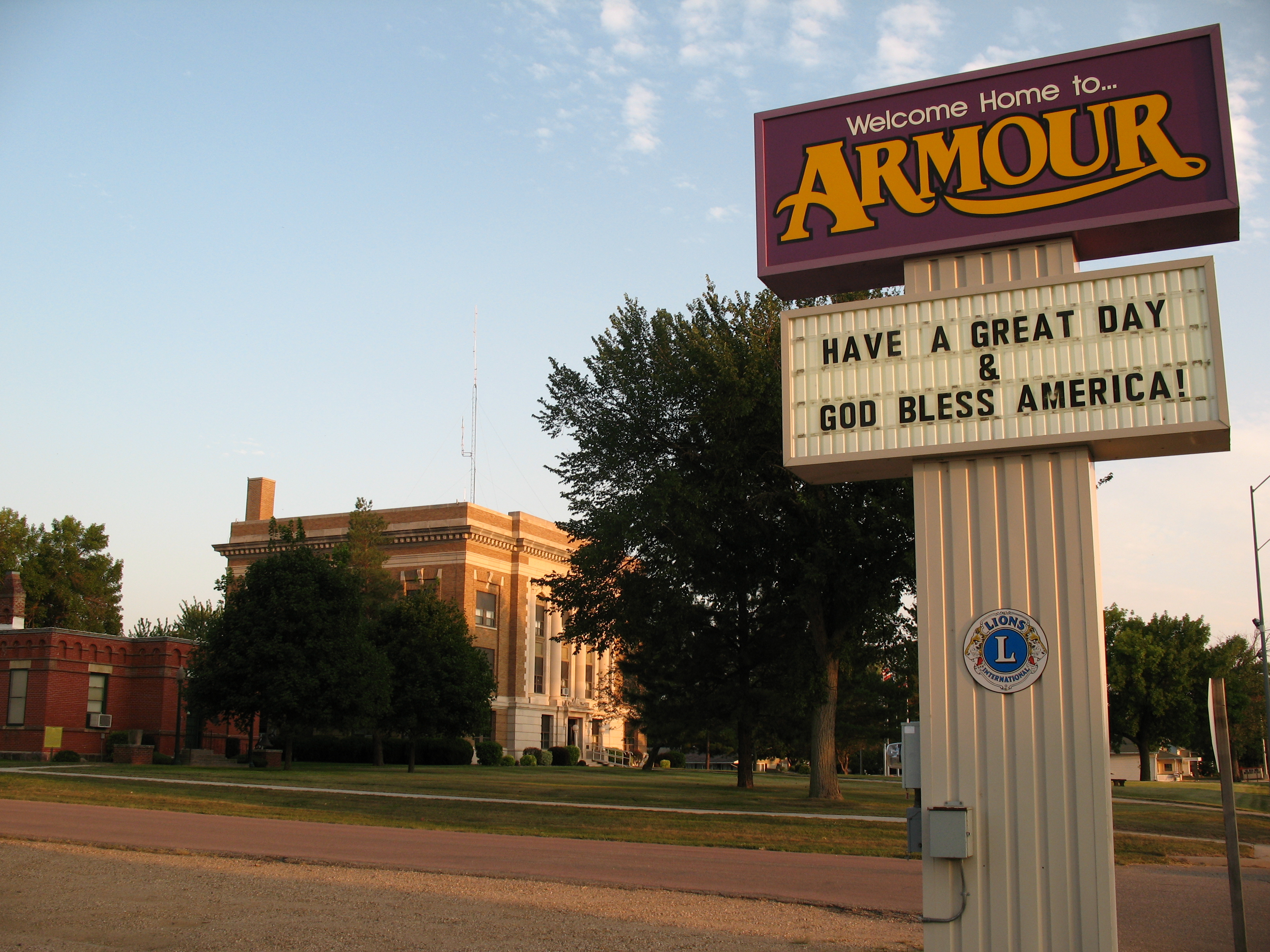
English: The town sign for Armour, South Dakota along Highway 281. The Douglas County Courthouse and Museum are visible in the background.
|
||
| Dat | |||
| Sous | Travay pèsonèl | ||
| Kreyatè | Sdgjake | ||
| Pèmisyon : (Resèvi ak fichye sa a) |
|

| Lieu de la prise de vue | | Voir cet endroit et d’autres images sur : OpenStreetMap |
|---|
Kondisyon itlizasyon
Moi, en tant que détenteur des droits d’auteur sur cette œuvre, je la publie sous la licence suivante :
Fichye sa a distribiye selon lisans Creative Commons.
- Ou gen dwa:
- pou pataje – pou kopye, distribiye epi difize ouvraj la
- pou remiks – pou adapte ouvraj la
- Selon kondisyon sa a yo:
- Rekonèt avèk non otè – Ou dwe bay enfòmasyon apwopriye sou otè a, bay yon lyen pou lisans lan, epi endike si te gen chanjman ki fèt. Ou ka fè sa nan nenpòt fason rezonab, men okenn fason ki sijere ke otè a soutni oswa apwouve itilizasyon ou an.
- Enfòmasyon sa yo ka pataje – Si ou fè rekopye, transfòme, oswa baze sou materyèl sa, ou dwe distribye kontribisyon ou anba menm oswa yon lisans konpatib avèk orijinal la.
Istorik fichye a
Klike sou yon dat/yon lè pou wè fichye a jan li te ye nan moman sa a.
| Dat ak lè | Minyati | Grandè yo | Itilizatè | Komantè | |
|---|---|---|---|---|---|
| Kounye a | 30 out 2010 à 20:58 | | 3 264 × 2 448 (3,31 Mio) | Sdgjake | {{Information |Description={{en|1=The town sign for Armour, South Dakota along Highway 281. The Douglas County Courthouse and Museum are visible in the background.}} |Source={{own}} |Author=Sdgjake |Date=2010-08-29 |Permission={{User:sdgj |
Itilizasyon fichye sa a
paj sa a itilize fichye sa a:
Itilizasyon global fichye a
Wiki sa a yo sèvi ak fichye sa a:
- Itilizasyon sou ar.wikipedia.org
- Itilizasyon sou arz.wikipedia.org
- Itilizasyon sou azb.wikipedia.org
- Itilizasyon sou ca.wikipedia.org
- Itilizasyon sou ceb.wikipedia.org
- Itilizasyon sou ce.wikipedia.org
- Itilizasyon sou cy.wikipedia.org
- Itilizasyon sou es.wikipedia.org
- Itilizasyon sou eu.wikipedia.org
- Itilizasyon sou fa.wikipedia.org
- Itilizasyon sou fr.wikipedia.org
- Itilizasyon sou hu.wikipedia.org
- Itilizasyon sou lld.wikipedia.org
- Itilizasyon sou pl.wikipedia.org
- Itilizasyon sou pt.wikipedia.org
- Itilizasyon sou sh.wikipedia.org
- Itilizasyon sou sr.wikipedia.org
- Itilizasyon sou sv.wikipedia.org
- Itilizasyon sou tr.wikipedia.org
- Itilizasyon sou tt.wikipedia.org
- Itilizasyon sou www.wikidata.org
- Itilizasyon sou zh-min-nan.wikipedia.org