
Fichye:USACE Depoe Bay Oregon.jpg

Dimansyon previzyalizasyon sa a : 800 × 528 piksèl. Lòt rezolisyon yo: 320 × 211 piksèl | 640 × 422 piksèl | 1 024 × 676 piksèl | 1 500 × 990 piksèl.
Fichye orijinal (1 500 × 990 piksèl, gwosè fichye a : 959 kio, tip MIME li ye : image/jpeg)
| Deskripsyon |
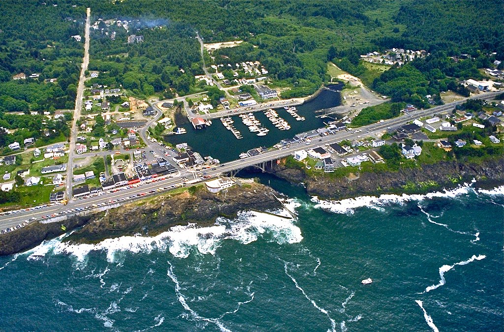
English: Aerial view of the harbor and center of Depoe Bay, Oregon, USA. |
|||
| Lieu | Depoe Bay, Oregon, USA 44°48′33.61″N 124°3′38.08″W / 44.8093361°N 124.0605778°W |
|||
| Dat | ||||
| Sous |
U.S. Army Corp of Engineers Digital Visual Library Digital Visual Library home page Image page Image description page |
|||
| Kreyatè | Bob Heims, U.S. Army Corps of Engineers | |||
| Pèmisyon : (Resèvi ak fichye sa a) |
|
Istorik fichye a
Klike sou yon dat/yon lè pou wè fichye a jan li te ye nan moman sa a.
| Dat ak lè | Minyati | Grandè yo | Itilizatè | Komantè | |
|---|---|---|---|---|---|
| Kounye a | 24 me 2012 à 01:18 | | 1 500 × 990 (959 kio) | Ian Page | Colour-enhanced version of original file |
| 16 avril 2007 à 02:54 |  | 1 500 × 990 (478 kio) | DanMS | {{Information2 | Description = {{en|Aerial view of the harbor and center of Depoe Bay, Oregon, USA.}} | Source = U.S. Army Corp of Engineers Digital Visual Library<br />[http://images.usace.army.mil/Main.html Digital Visual Library home page]<br />[h |
Itilizasyon fichye sa a
paj sa a itilize fichye sa a:
Itilizasyon global fichye a
Wiki sa a yo sèvi ak fichye sa a:
- Itilizasyon sou ar.wikipedia.org
- Itilizasyon sou azb.wikipedia.org
- Itilizasyon sou bg.wikipedia.org
- Itilizasyon sou ca.wikipedia.org
- Itilizasyon sou ceb.wikipedia.org
- Itilizasyon sou ce.wikipedia.org
- Itilizasyon sou cs.wikipedia.org
- Itilizasyon sou cy.wikipedia.org
- Itilizasyon sou de.wikipedia.org
- Itilizasyon sou en.wikipedia.org
- Itilizasyon sou en.wikivoyage.org
- Itilizasyon sou es.wikipedia.org
- Itilizasyon sou eu.wikipedia.org
- Itilizasyon sou fa.wikipedia.org
- Itilizasyon sou fi.wikipedia.org
- Itilizasyon sou fr.wikipedia.org
- Itilizasyon sou hu.wikipedia.org
- Itilizasyon sou it.wikipedia.org
- Itilizasyon sou ky.wikipedia.org
- Itilizasyon sou lld.wikipedia.org
- Itilizasyon sou pl.wikipedia.org
- Itilizasyon sou pt.wikipedia.org
- Itilizasyon sou sh.wikipedia.org
- Itilizasyon sou sr.wikipedia.org
- Itilizasyon sou tt.wikipedia.org
- Itilizasyon sou uk.wikipedia.org
- Itilizasyon sou uz.wikipedia.org
- Itilizasyon sou www.wikidata.org
- Itilizasyon sou zh-min-nan.wikipedia.org